Presenting the GBIF Biodiversity Viewer
November 27, 2023
On November 27, 2023, the Ukrainian Nature Conservation Group (UNCG) presented the GBIF Biodiversity Viewer. The presentation can be reviewed here: https://www.facebook.com/UkrainianNatureConservationGroup/videos/1741874349558127/
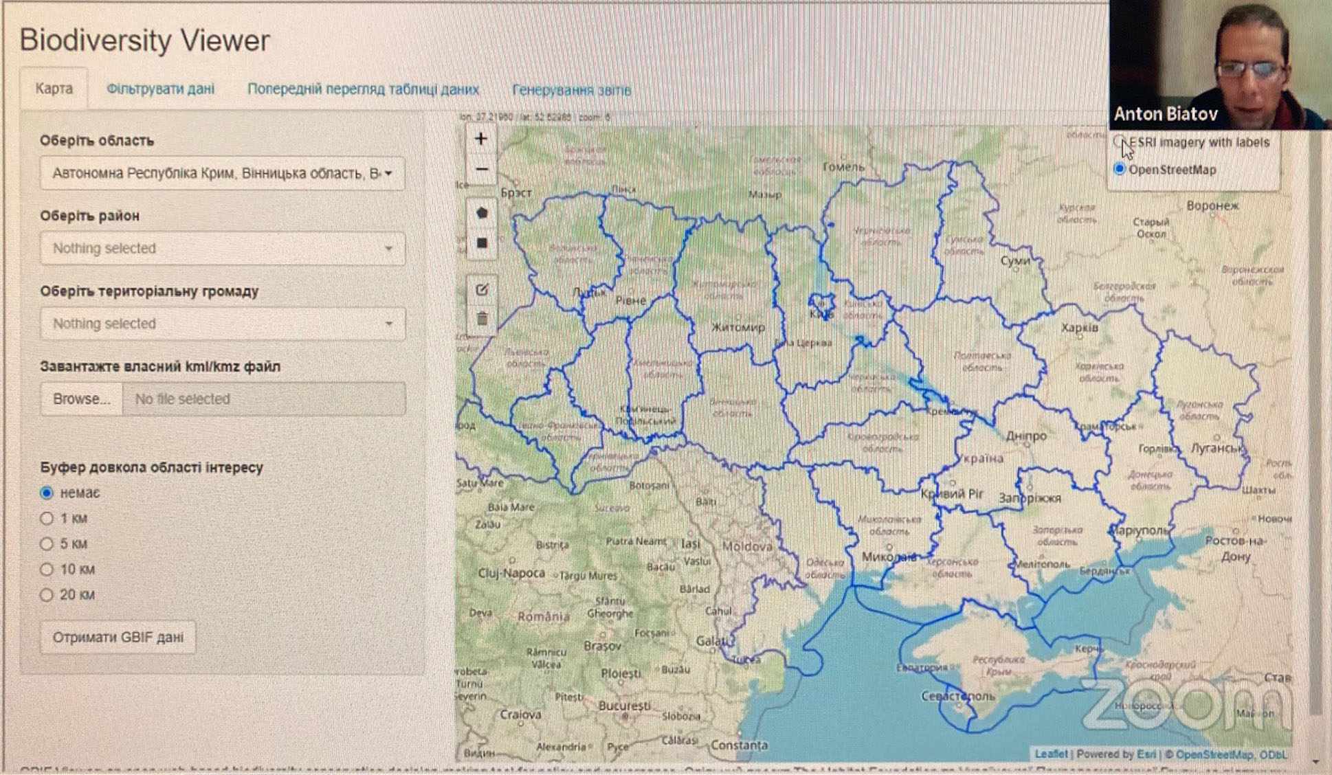
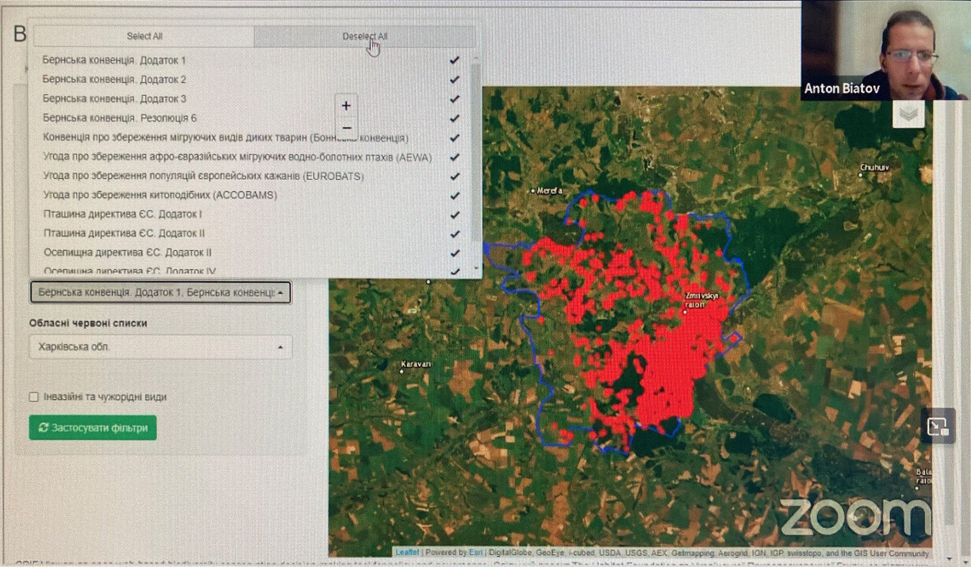
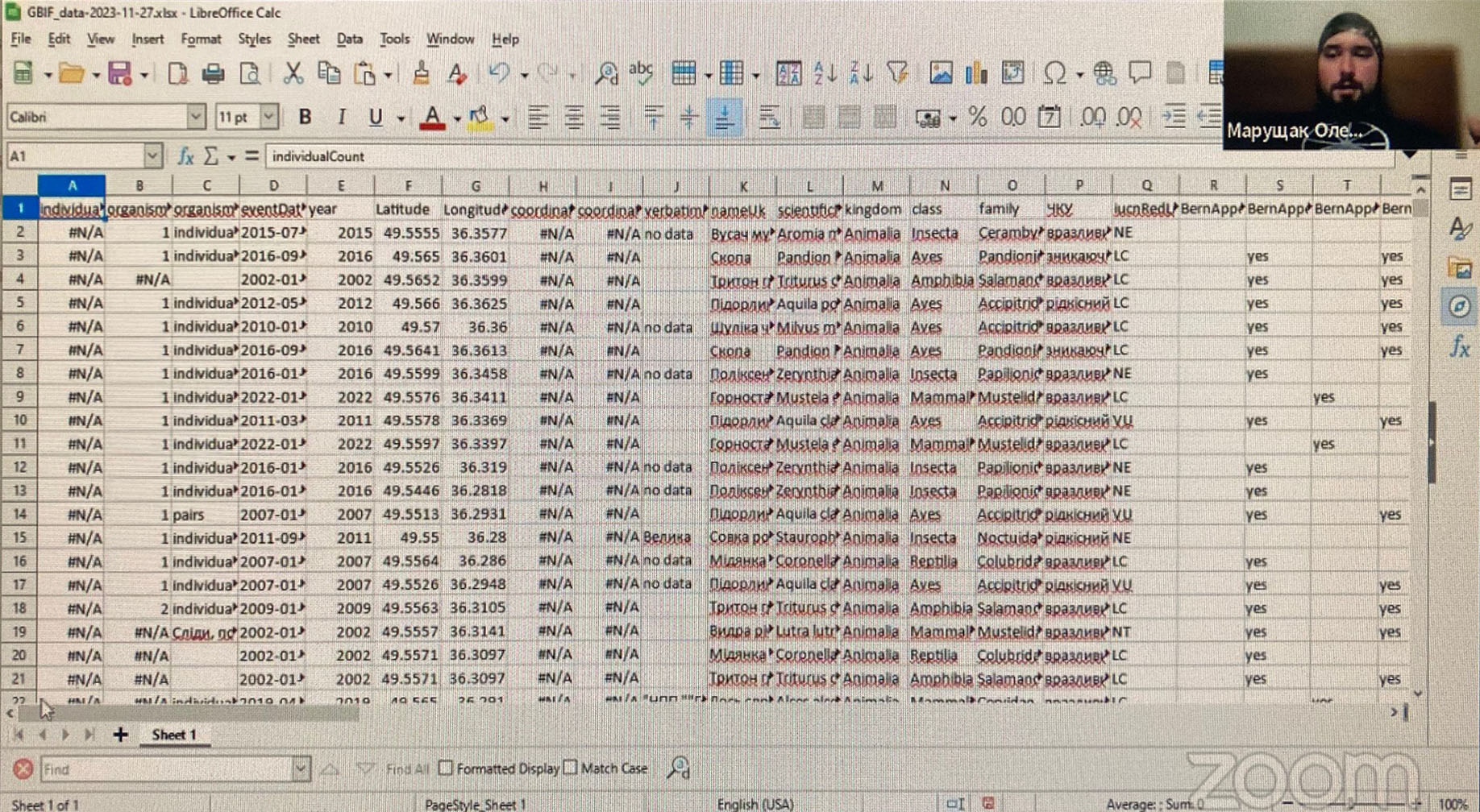
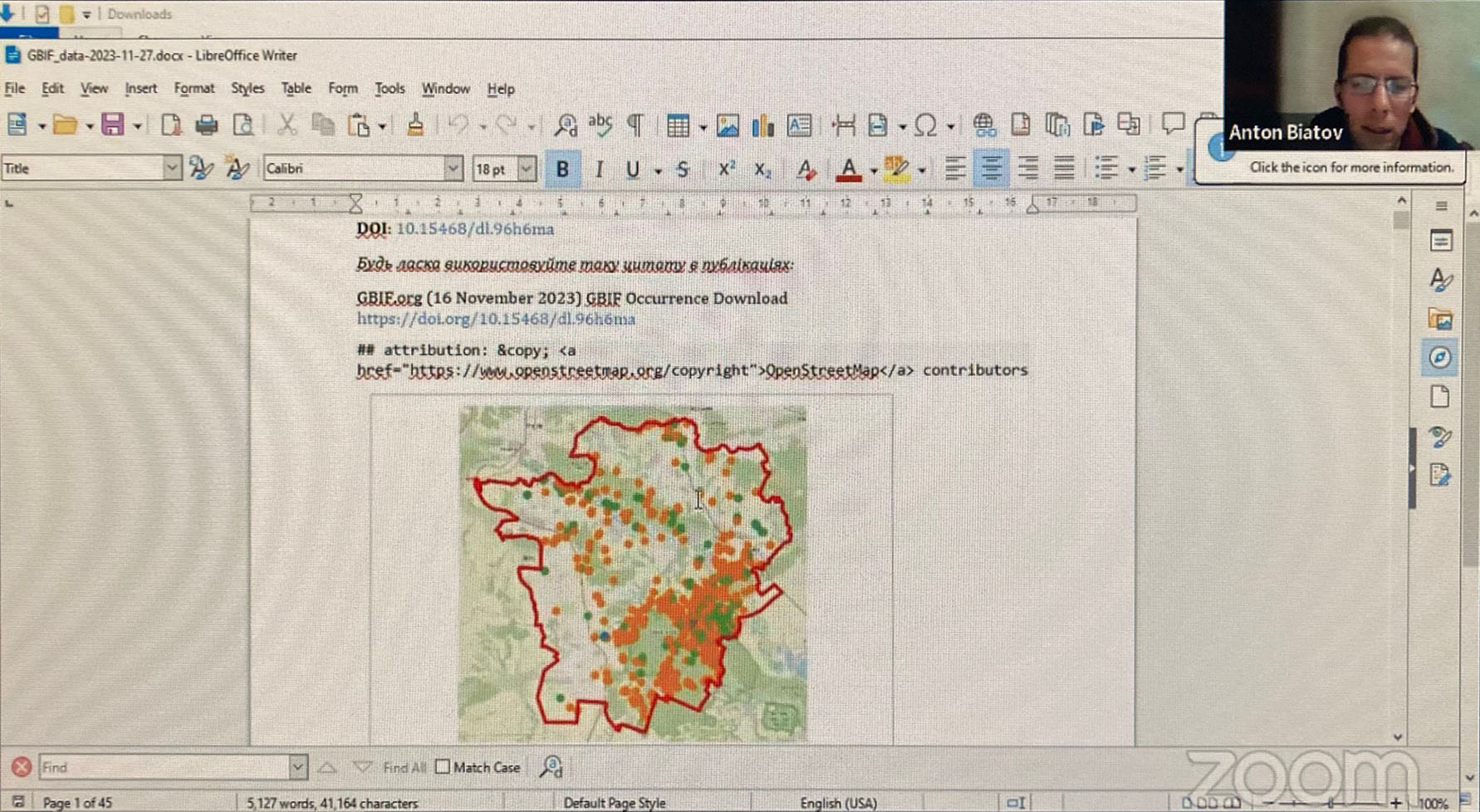
 The GBIF Biodiversity Viewer extracts species occurrence data from the Global Biodiversity Information Facility (GBIF), which provides the largest amount of well-documented data on species in the world. The viewer produces a map with the locations of sightings of plant and animal species, as well as their likely distribution areas. A report in the form of a table gives more details about the sightings, such as the observation date, the number of individuals, age, activity etc., as well as the conservation and legal protection status of each species. The application is available for free, to anyone who needs data on biodiversity. These are not only biologists but also authorities, building companies, farmers, urban planners, foresters etc.
Information about the distribution of biological species becomes necessary not only for biologists. Knowledge about the distribution of rare species is necessary for the creation of nature reserves, planning of forestry activities, environmental impact assessments, (rail)road building, urban planning and law enforcement. However, such data are not always easy to find in the public domain. The experience is that authorities and consultancies, hardly use the data in GBIF, as these lack the needed specialised knowledge and skills. Trainings have short-term effect as staff changes frequently. Consequently, the law enforcement on nature conservation is weak. For example, in 2020-2021, 10 to 20 EIA reports in Ukraine were passed daily, where environment and biodiversity were little or not considered. Data on species of conservation importance was not used, neither was data on biodiversity supporting complaints during public hearings used. The result is EIA reports of low quality, authorities unable to oversee the real environmental impact, communities unable to counteract on underinformed EIAs and, finally, development with severe negative environmental impact.
 The easy extraction of data from GBIF, combined with the species conservation and legal protection status will enhance the use of GBIF data for conservation, policy, governance and development, and facilitate decision makers to adequately incorporate biodiversity and nature in their management and planning. An increased use of GBIF data will also emphasise the importance of georeferenced data for conservation and stimulate data collection and mobilisation.
The coming months will be used to holding a few more promotion campaigns, including on-ground presentations to potential end-users in Kyiv. The lessons learned during this promotion tour will be used to improve the quality and user-friendliness of viewer.
 The software will be published in GitHub for free use and can be developed to cover Europe.
This project is financed by the Dutch node of GBIF: NLBIF.
